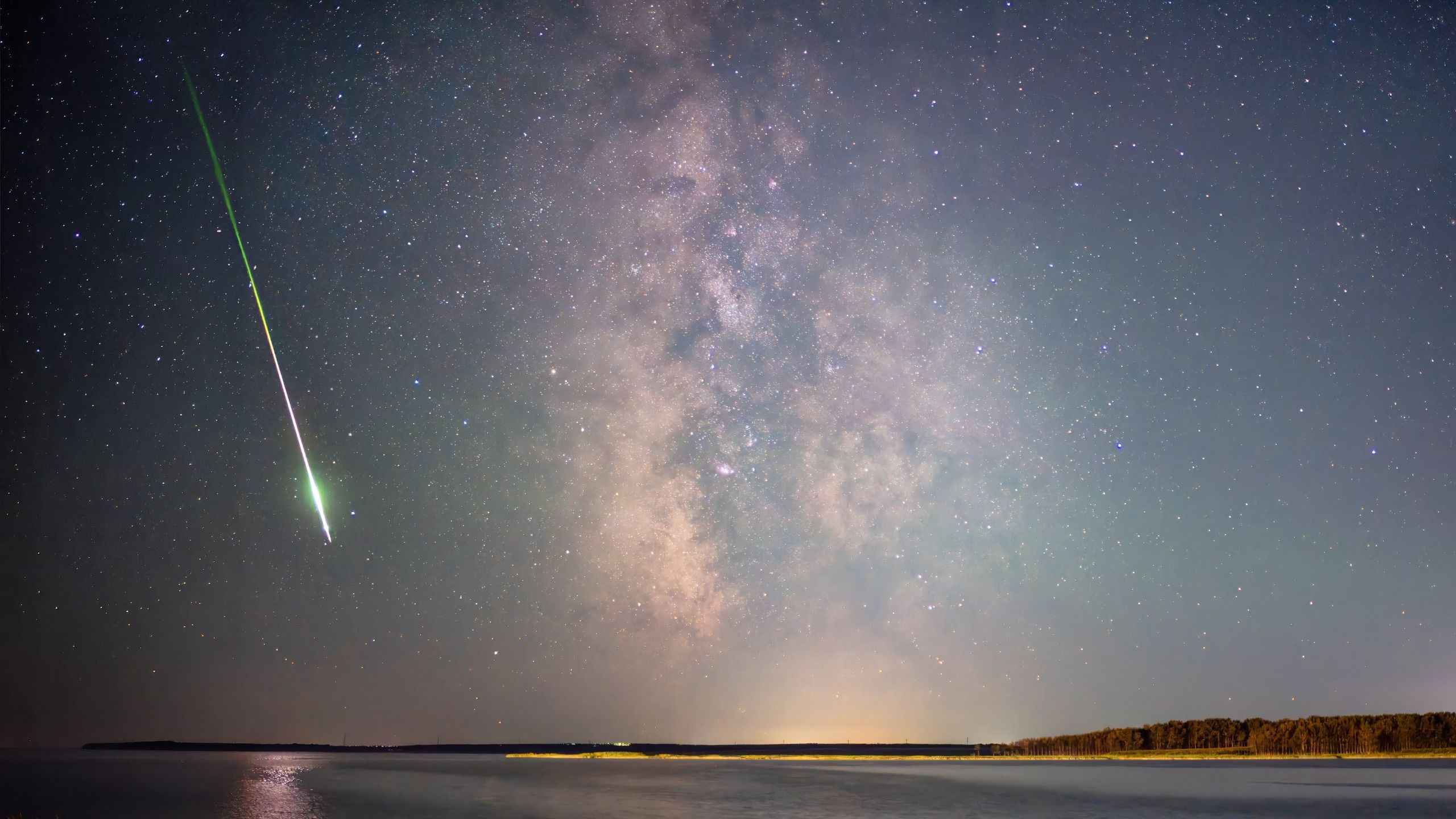
The high-altitude explosion of an extraterrestrial meteor high above the South Atlantic off the coast of Argentina has underscored the critical importance of multi-sensor data integration in modern space science and planetary defense. The April 1 event, classified as a bolide, highlights how the convergence of secret military sensors, civil meteorological satellites, and ground-based geophysical instruments can capture the mechanics of cosmic debris entering Earth’s atmosphere. As natural fireballs and artificial space debris increasingly populate the skies, scientists emphasize that combining independent observation methods is essential for accurate atmospheric reconstruction, accurate energy estimation, and the prevention of geopolitical misunderstandings.
Anatomy of an Unpredicted Event: The South Atlantic Bolide
The celestial visitor on April 1 entered Earth’s atmosphere at hypersonic speeds, culminating in an intense explosion that peaked in brightness at an altitude of approximately 60 miles (90.5 kilometers) over the South Atlantic Ocean. Initially detected by classified U.S. government space-based military and civil sensors designed to monitor high-speed atmospheric phenomena, the fireball was also serendipitously captured by civilian meteorological infrastructure.
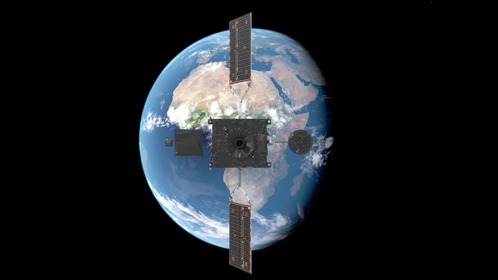
Two independent geostationary satellites—the National Oceanic and Atmospheric Administration’s GOES-East spacecraft and Europe’s Meteosat Third Generation (MTG) Imager-1—registered the luminous event using their onboard lightning mappers. These instruments, primarily engineered to track real-time electrical activity in Earth’s weather systems, are increasingly proving to be invaluable tools for detecting sudden optical flashes from space rocks.
Rob Landis, a planetary defense specialist and visiting vehicle integration manager for the International Space Station at NASA’s Johnson Space Center, noted the scientific windfall of utilizing civilian hardware for bolide research. Because these lightning-watching instruments were not engineered strictly for classified military surveillance, researchers can openly discuss the data, fostering broader international scientific collaboration. These instruments provide opportunistic bonus science for researchers studying the constant rain of cosmic material entering the atmosphere.
A Chronology of Recent Major Impact Events
To understand the frequency and energy release of such atmospheric entries, scientists study a growing catalog of well-documented modern bolides. Each event offers unique datasets that test and refine global detection models.
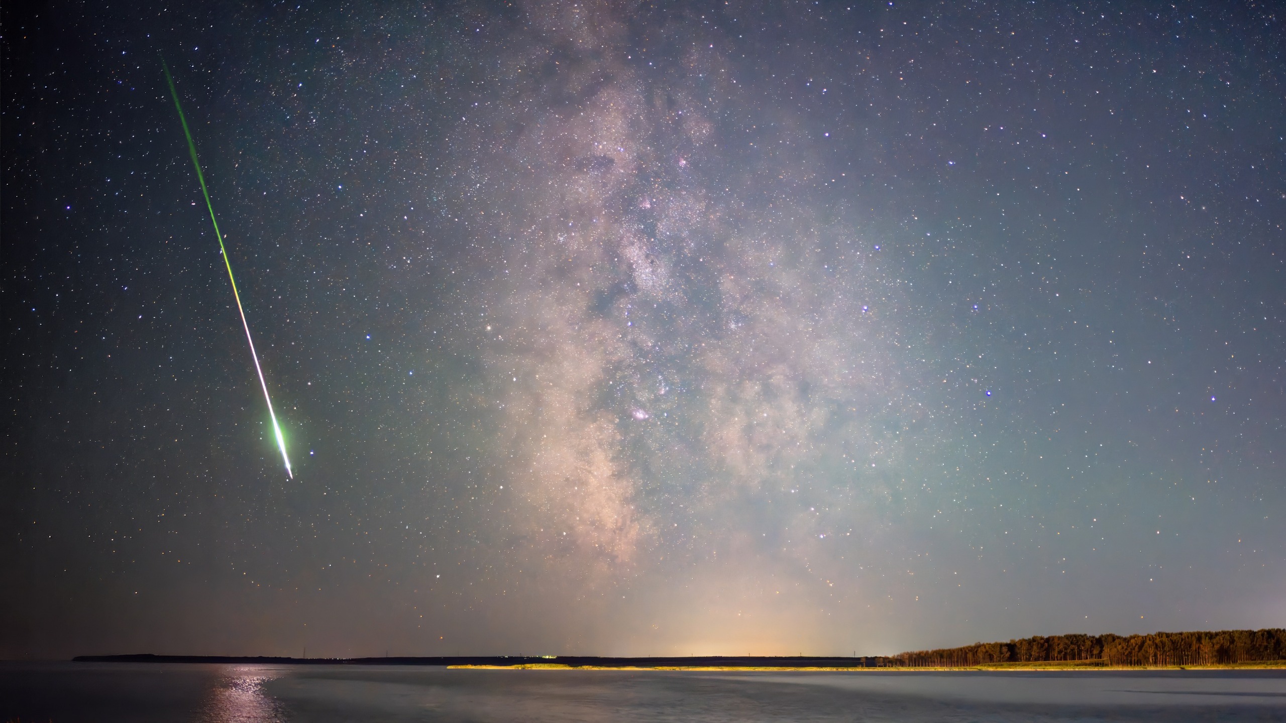
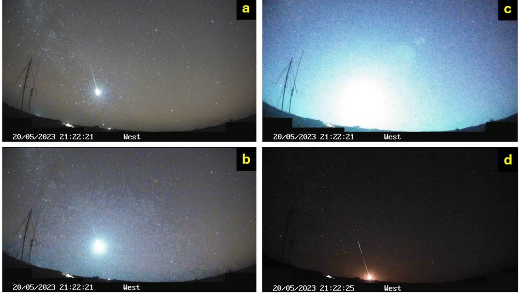
- May 20, 2023 (Queensland, Australia): A roughly 12-foot-wide (3.7 meters) space rock entered the atmosphere over northwest Queensland, producing deafening sonic booms and a catastrophic fragmentation. Registering an energy equivalent to a 7.1-kiloton bomb, it ranked as one of the 20 most energetic events logged by NASA’s Center for Near-Earth Object Studies (CNEOS) since 1988, and the most powerful ever recorded over Australia.
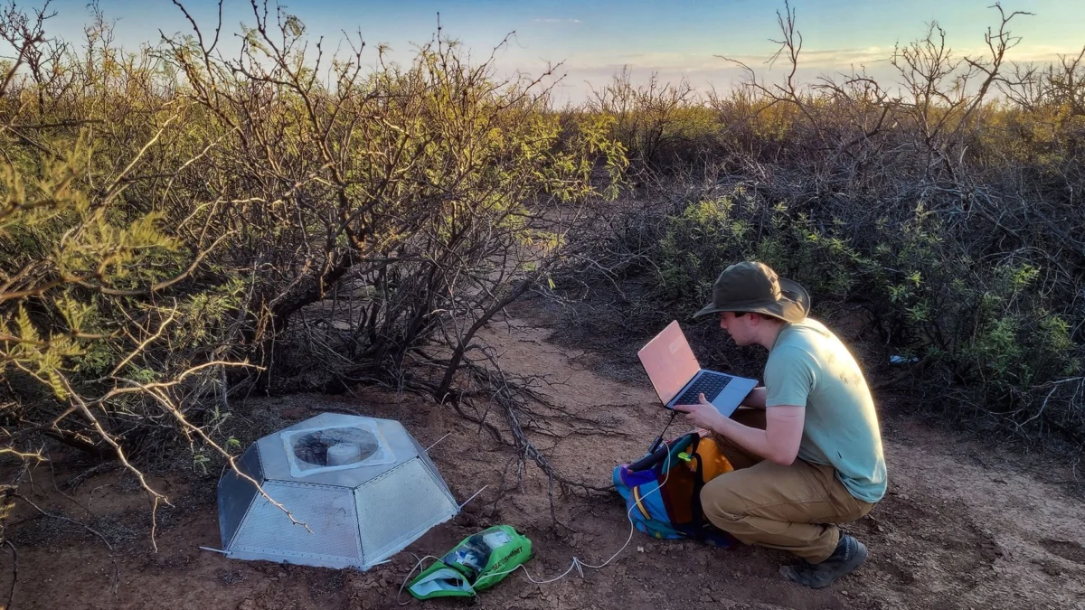
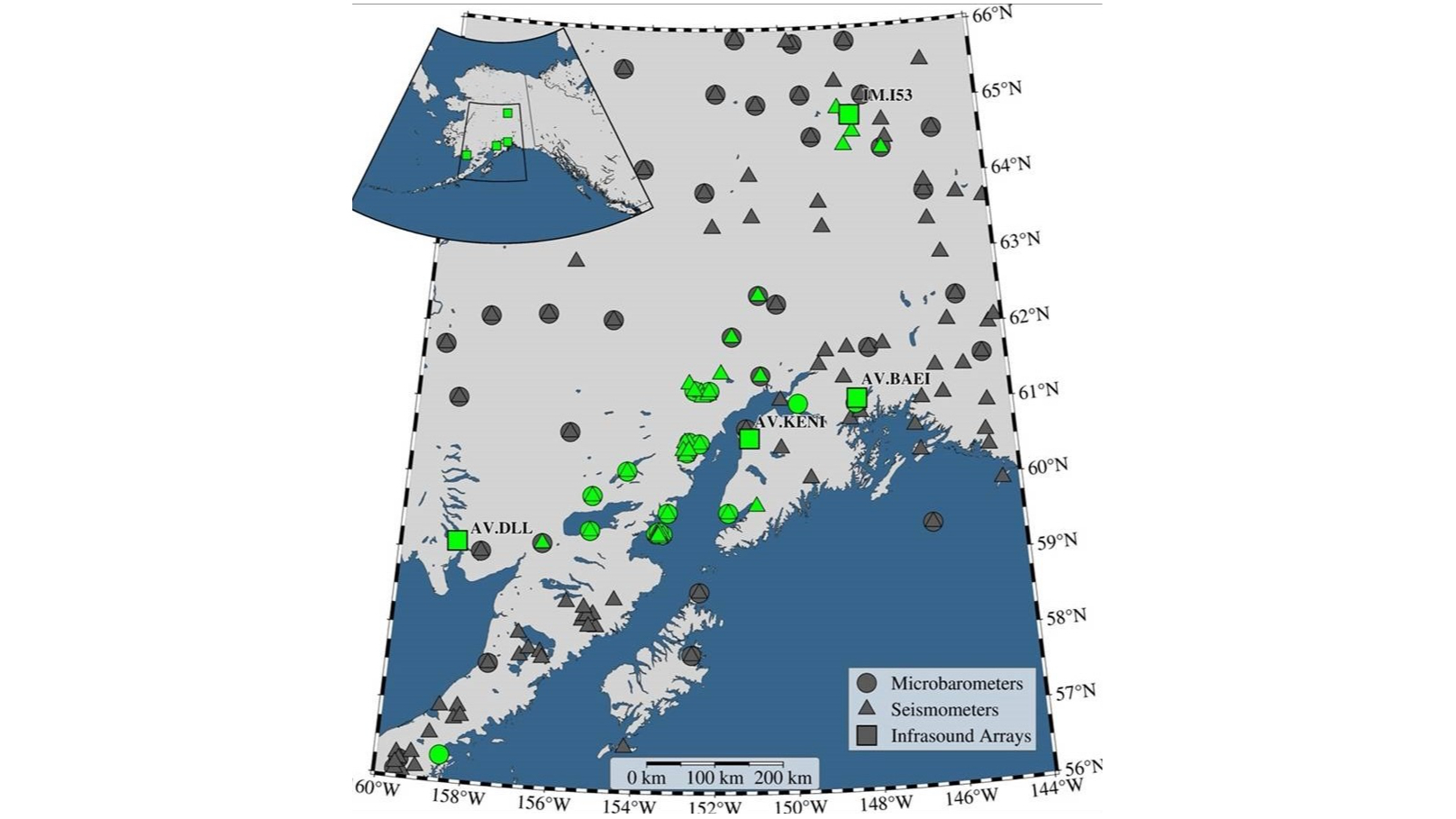
- April 24, 2025 (South-Central Alaska): A brilliant fireball blazed across the skies of Alaska, generating one of the most densely recorded seismoacoustic datasets in history. Though omitted from initial U.S. government CNEOS sensor reports, the event was extensively captured by a regional network comprising 37 seismic stations, 16 single infrasound sensors, four infrasound arrays, Doppler weather radar, and opportunistic optical videos.
- April 1, 2026 (South Atlantic): The high-altitude bolide off the coast of Argentina was simultaneously tracked by U.S. defense sensors and European and American geostationary weather satellites via lightning-mapping technology, showcasing the efficacy of multi-agency, cross-border observation capabilities.
The Power of Complementary Datasets
The traditional starting point for analyzing significant fireballs has relied heavily on U.S. government detections compiled in the CNEOS database, housed at NASA’s Jet Propulsion Laboratory in Southern California. CNEOS calculates high-precision orbits for asteroids and comets while monitoring potential impact hazards to support NASA’s Planetary Defense Coordination Office. These space-based sensors typically establish the foundational parameters of an event: the exact timestamp, geographic coordinates, and estimated total energy release.
However, the recent Alaska fireball demonstrated that civil and scientific ground networks can independently reconstruct an atmospheric entry with remarkable precision even when government sensors miss the event entirely. Elizabeth Silber, a senior research and development physicist at the U.S. Department of Energy’s Sandia National Laboratories in New Mexico, emphasized the distinct advantages of multi-sensor synthesis.
According to Silber, different observational systems respond to entirely different physical manifestations of a meteor’s demise. Seismic and infrasound networks record low-frequency atmospheric shock waves, constraining the object’s trajectory, fragmentation points, and acoustic energy. Optical cameras capture the luminous flight path, while Doppler weather radar can detect surviving meteorite fragments as they slow down and descend in "dark flight."
When these disparate methodologies are combined, researchers move far beyond merely confirming that an event occurred. They can model how the object traveled through the atmosphere, pinpoint where catastrophic fragmentation took place, calculate exact energy yields, and determine if physical meteorites survived the fiery plunge to impact the Earth’s surface.
Geopolitical Implications and Planetary Defense
Beyond pure astrophysics, the refinement of multi-sensor fireball tracking carries profound national security and geopolitical implications. Planetary defense encompasses much more than discovering near-Earth asteroids years before they cross paths with our planet; it requires comprehensive models of atmospheric entry physics.
As the volume of both natural meteoroids and human-made space debris—such as defunct satellites and rocket bodies—reentering the atmosphere increases, the margin for error in identifying these objects narrows. Experts warn that advanced warning systems and cross-verification protocols are vital to prevent catastrophic misinterpretations.
Rob Landis highlighted a chilling hypothetical scenario: if a naturally occurring, high-energy meteor explosion were to go unverified or be misinterpreted by military defense networks, a nation could mistakenly perceive the atmospheric shockwave or flash as a preemptive strategic strike. The existence of an open, transparent, and multi-layered scientific observation network acts as a crucial safeguard, allowing governments to immediately cross-check data and distinguish between natural cosmic impacts and artificial reentries or military activities.
Furthermore, these incoming bolides serve as invaluable real-world stress tests for predictive physics models. Because scientists cannot artificially replicate the extreme velocities and thermodynamic pressures of an asteroid entering the atmosphere at tens of kilometers per second, nature provides these random experimental opportunities. Every well-documented fireball helps calibrate the equations used to assess potential future impact threats to populated regions.
Conclusion: Toward a Unified Observation Network
The integration of secret military architectures, geostationary weather monitoring satellites, seismic networks, and Doppler radar points toward a future of holistic planetary monitoring. No single sensor can provide a complete picture of an atmospheric entry on its own. Space-based optical assets suffer from cloud cover and saturation limits, while ground sensors depend on proximity to the event trajectory.
By aggressively cross-checking independent observations, the global scientific and defense communities are steadily improving post-event situational awareness. As researchers like Silber and Landis continue to refine these multidisciplinary models, humanity is better equipped to interpret the constant, silent bombardment of the cosmos—turning sudden flashes in the dark into quantifiable data that keeps the planet safe both from extraterrestrial hazards and terrestrial misunderstandings.