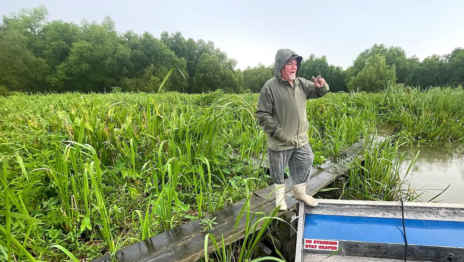
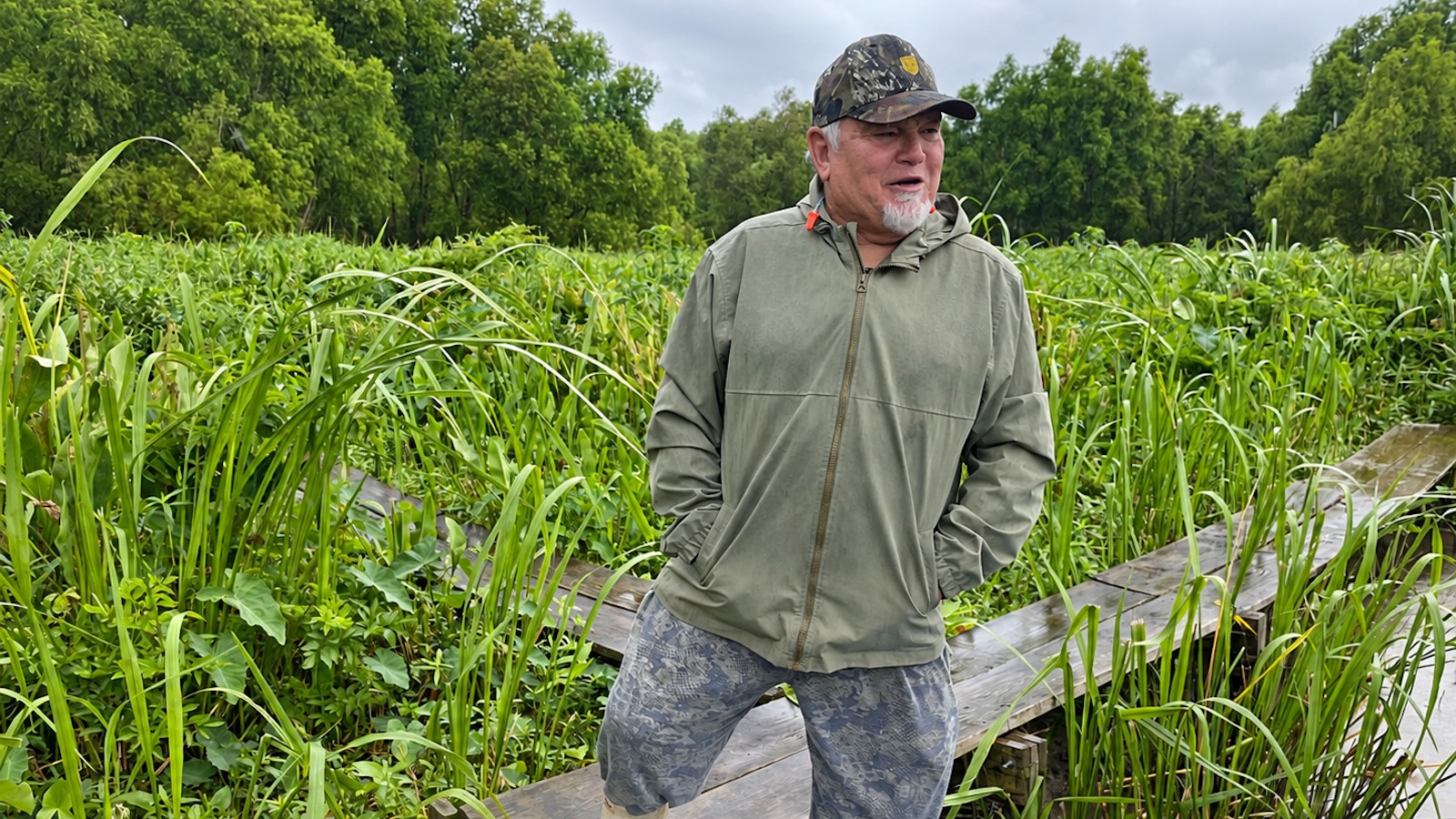
For generations, the coastal geography of southeastern Louisiana has been defined by a quiet, relentless loss. As the saltwater of the Gulf of Mexico pushes inland, it eats away at fragile marshes, dissolves delicate swamps, and widens bays and bayous at a staggering rate of roughly 11 square miles per year. For semi-retired tour guide Arthur Matherne, who has spent decades speeding his airboat across the widening expanse of the Barataria Basin, the transformation has been stark. Yet, in one tucked-away pocket of this 1.6-million-acre basin, Matherne encounters an entirely different phenomenon: a reversal of coastal erosion.
Easing off the throttle of his airboat, Matherne maneuvers through tight, unfamiliar channels where grasses now choke the shallows and low-hanging oak branches draped in Spanish moss encroach upon waterways he once barreled through at top speeds. "All this, it’s filling in," Matherne says, shutting off his roaring propeller. "Right here, it used to be three feet of water. Now it’s three inches."
This localized wetland rebirth is not a natural accident. Just a few miles away near Luling in St. Charles Parish sits the Davis Pond Freshwater Diversion. Completed by the U.S. Army Corps of Engineers in 2002 to combat encroaching saltwater, the structure channels nutrient-rich Mississippi River water into the basin. Beyond achieving its initial objective, the diversion performed an unexpected ecological feat: it carried heavy loads of river sediment into the marshes, elevating the basin floor and actively building new land.
Despite this proof-of-concept, Louisiana’s path forward on coastal restoration remains fractured by political controversy, economic anxiety, and deep scientific debate over how best to harness the state’s vanishing delta.
The Rise, Fall, and Re-imagining of Large-Scale Diversions
The success of Davis Pond initially served as the ideological foundation for Louisiana’s most ambitious coastal strategy: utilizing large-scale river diversions to mimic the natural delta-building cycles that originally formed the state’s coast over millennia. Before humans walled off the Mississippi River with massive levees to protect commerce and settlements, seasonal floods naturally overflowed riverbanks, depositing life-giving silt and fresh water across the floodplains.
Relying on this historical precedent, the state championed the Mid-Barataria Sediment Diversion. Heralded as the largest and boldest environmental restoration project in U.S. history, the $3 billion initiative broke ground in 2023, located roughly 20 miles south of New Orleans. Designed to harness the river on a massive scale, it was meant to aggressively counteract decades of land loss.
However, political landscapes shifted rapidly. Following the election of Governor Jeff Landry—a prominent critic of the project—work was halted shortly after he took office in 2024. By July 2025, Landry officially terminated the project, labeling it a costly and ineffective experiment that threatened Louisiana’s commercial fishing economy.
Landry argued that flooding Barataria Bay with immense volumes of fresh water and sediment would devastate local industries, pushing shrimp out to sea and burying crucial oyster beds under thick layers of silt. "This project is going to break our culture," Landry told state lawmakers during legislative hearings. "It will destroy the shrimping industry—which is already struggling—and destroy the oyster beds." Soon after terminating Mid-Barataria, the administration also canceled its companion project: the $1.8 billion Mid-Breton Sediment Diversion, which was slated to revive dying wetlands southeast of New Orleans.
A Pivot Toward Smaller Projects and Shifting Budgets
Even as the Landry administration officially dismantled the state’s premier mega-diversions, internal planning documents indicate a quiet pivot toward smaller, less disruptive, and more targeted river diversion projects.
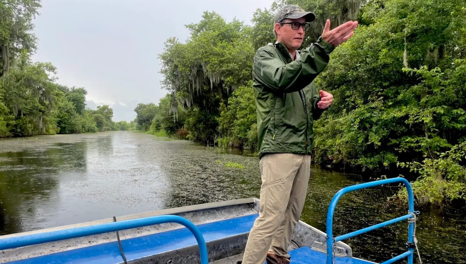
While officials with the Louisiana Coastal Protection and Restoration Authority (CPRA) declined to discuss active strategic adjustments, a comprehensive review of the agency’s budget documents reveals plans to allocate at least $340 million across five distinct river diversion initiatives over the coming years. This represents a substantial escalation from historical expenditures; between 2007 and 2009, the CPRA completed just three smaller diversion projects totaling a modest $47 million, according to the agency’s annual planning records.
The vast majority of this newly slated funding is earmarked for the Maurepas Swamp restoration project. Spanning a Chicago-sized wetland along the western edge of Lake Pontchartrain roughly 25 miles from New Orleans, the $334 million project broke ground in 2024 and is slated for completion in late 2027. By installing massive gates in the Mississippi River levee near Garyville in St. John the Baptist Parish, the project will channel up to 2,000 cubic feet per second of water into the ailing swamp. Early 20th-century levees had previously cut the swamp off from vital fresh water and sediment, leaving its vast cypress and tupelo forests vulnerable to saltwater intrusion. The new diversion aims to flush out stagnant marine water and rejuvenate approximately 45,000 acres of forest.
Furthermore, the CPRA has quietly revived an older, considerably smaller iteration of the Barataria Basin restoration effort: the Medium Diversion at Myrtle Grove. Originally proposed over 25 years ago, this project would introduce up to 15,000 cubic feet of river water per second into the basin—roughly one-third of the operating capacity originally planned for the canceled Mid-Barataria project. To accelerate land-building, the state also plans to actively dredge river sediment and pump it directly into the marshes. Although budget outlines indicate initial planning expenditures of $1.7 million between 2027 and 2029, the total project cost is projected to clear hundreds of millions of dollars.
Optimizing Existing Infrastructure: The Case for Davis Pond
With large-scale construction politically toxic, state and local authorities are increasingly looking inward, seeking ways to maximize the efficiency of existing structures like Davis Pond.
The CPRA has proposed allocating $3 million in shared funding with the Army Corps of Engineers to study how Davis Pond can be operated more aggressively to build land. Past research conducted by Tulane University in 2019 suggested that boosting the diversion’s average operational flow from 1,000 cubic feet per second to between 4,000 and 7,000 cubic feet per second could deliver significantly more sediment to starving marshes.
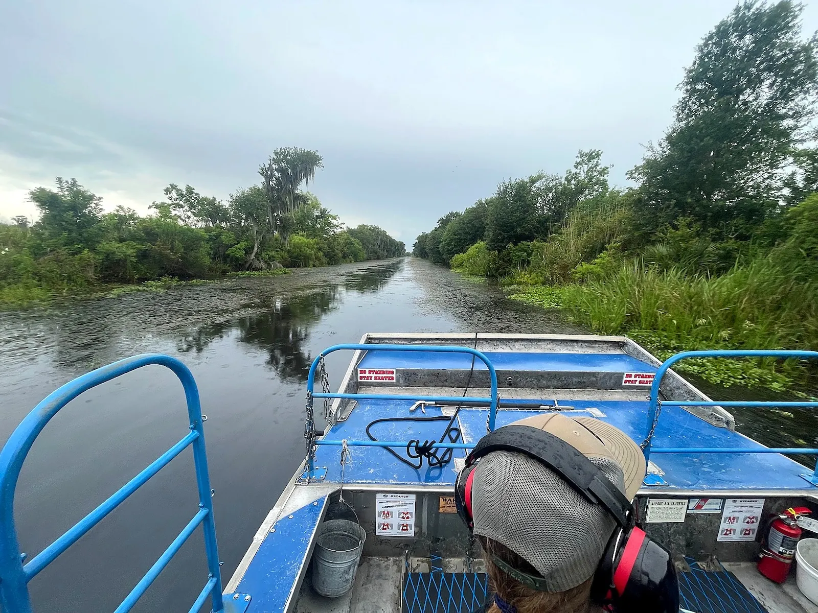
Local leadership in St. Charles Parish has strongly endorsed these optimization studies, reflecting widespread frustration among residents that current operations are overly cautious. On the water, observers like Matherne agree, arguing that current flow rates are insufficient for the massive scale of coastal degradation. "Right now, it’s like pissing in an Olympic-size swimming pool," Matherne remarks. "We need more flow."
Proponents of increasing flows point to recent ecological indicators as proof of success. Monitoring data cited by CPRA scientists indicate that public oyster populations near Davis Pond hovered above their 10-year averages in 2024, while regional shrimp harvests reached a nearly four-decade high the same year. Wildlife is visibly rebounding in the newly stabilized shallows, with local guides noting a dramatic increase in alligator populations and returning wetland birds.
The Scientific Debate: Nutrient Overload vs. Land Building
Despite visible signs of ecological recovery, the scientific community remains sharply divided over the long-term efficacy and structural integrity of land created via river diversions.
Eugene Turner, a distinguished professor of coastal sciences at Louisiana State University, has long challenged conventional thinking regarding river-building projects. In a prominent 2019 study, Turner concluded that the annual rate of wetland loss in areas influenced by Davis Pond nearly tripled after the diversion became operational, rising from 0.36 percent to over 1 percent—a rate higher than unaffected neighboring marshes.
Turner attributes this counterintuitive loss to the chemical composition of the modern Mississippi River. Unlike historical floods that carried natural organic loads, today’s river is heavily laden with nitrogen and phosphorus originating from upstream agricultural fertilizer runoff and municipal wastewater. According to Turner, these excess nutrients foster rapid, unsustainable plant growth.
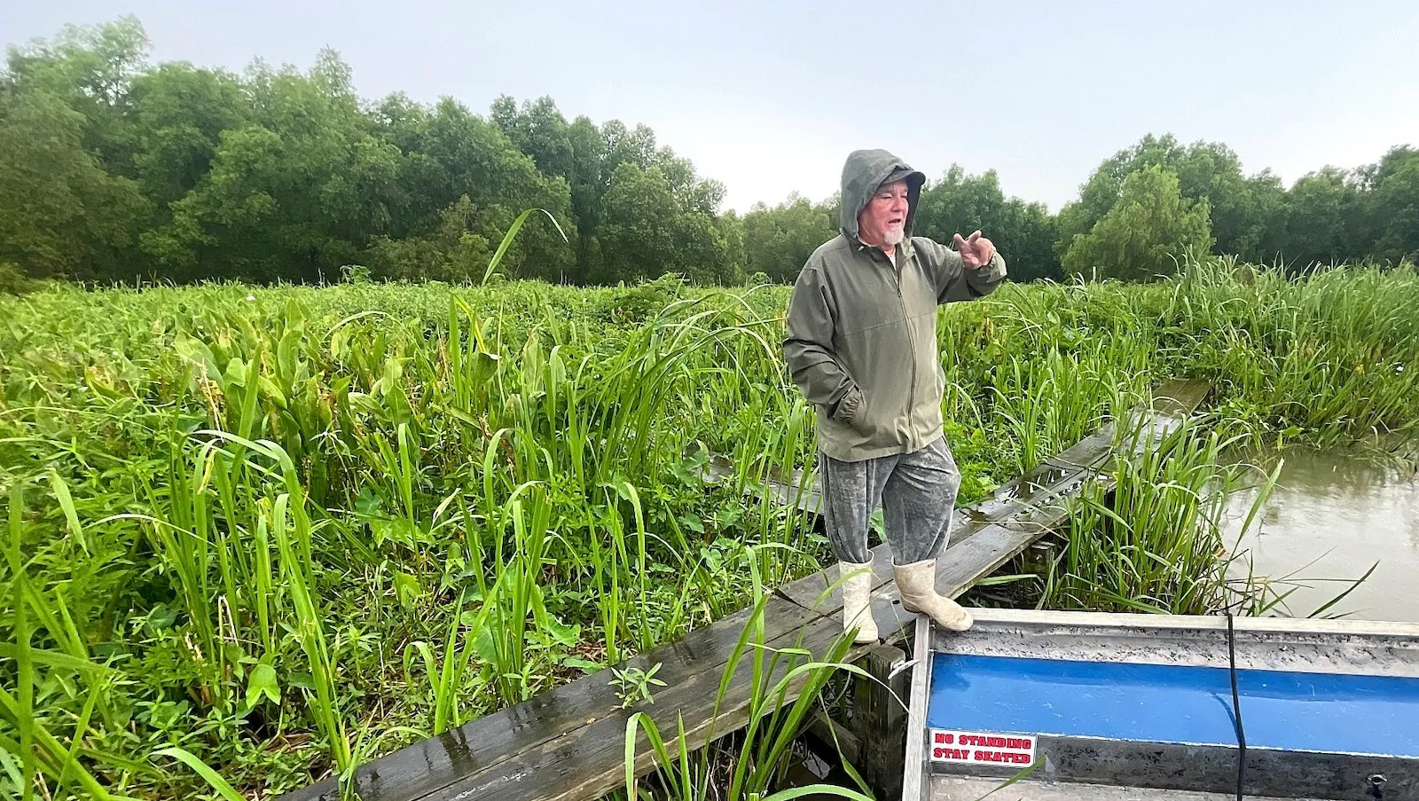
"If your garden is fertilized too much, it puts all its growth aboveground," Turner explains. "It falls over because its roots never had to work hard." He argues that lower ambient nutrient levels force marsh plants to develop deep, robust root systems capable of resisting strong currents and storm surges. Without this structural root foundation, he warns, land gains achieved through diversions act merely as a temporary "green toupee"—superficial vegetation that easily washes away during severe weather events.
Conversely, Turner’s conclusions have faced rigorous pushback from academic peers. In a subsequent 2023 study published in ecological journals, LSU coastal sciences professors John White and John Day argued that Turner’s analysis was fundamentally flawed. They maintained that the first two decades of Davis Pond operations yielded a net gain of 1.3 square miles of stable land, asserting that Turner had relied on satellite data insufficiently precise to distinguish between shallow open water and small marsh patches.
Navigating Uncertainty in a Sinking Delta
As Louisiana navigates its climate and coastal future, the debate over diversions highlights the difficult trade-offs inherent in large-scale ecological engineering. While critics emphasize economic risks to fisheries and the potential vulnerabilities of nutrient-fed marshes, proponents argue that without the deliberate introduction of river water and sediment, the state’s coastal population centers will remain increasingly exposed to the rising Gulf of Mexico.
For now, the state’s strategy has shifted away from high-stakes, multi-billion-dollar gambles toward a more measured approach centered on ecosystem restoration, localized sediment management, and optimizing historical infrastructure. Whether these smaller interventions can outpace the forces of climate change and sea-level rise remains the defining question for Louisiana’s fragile coast.