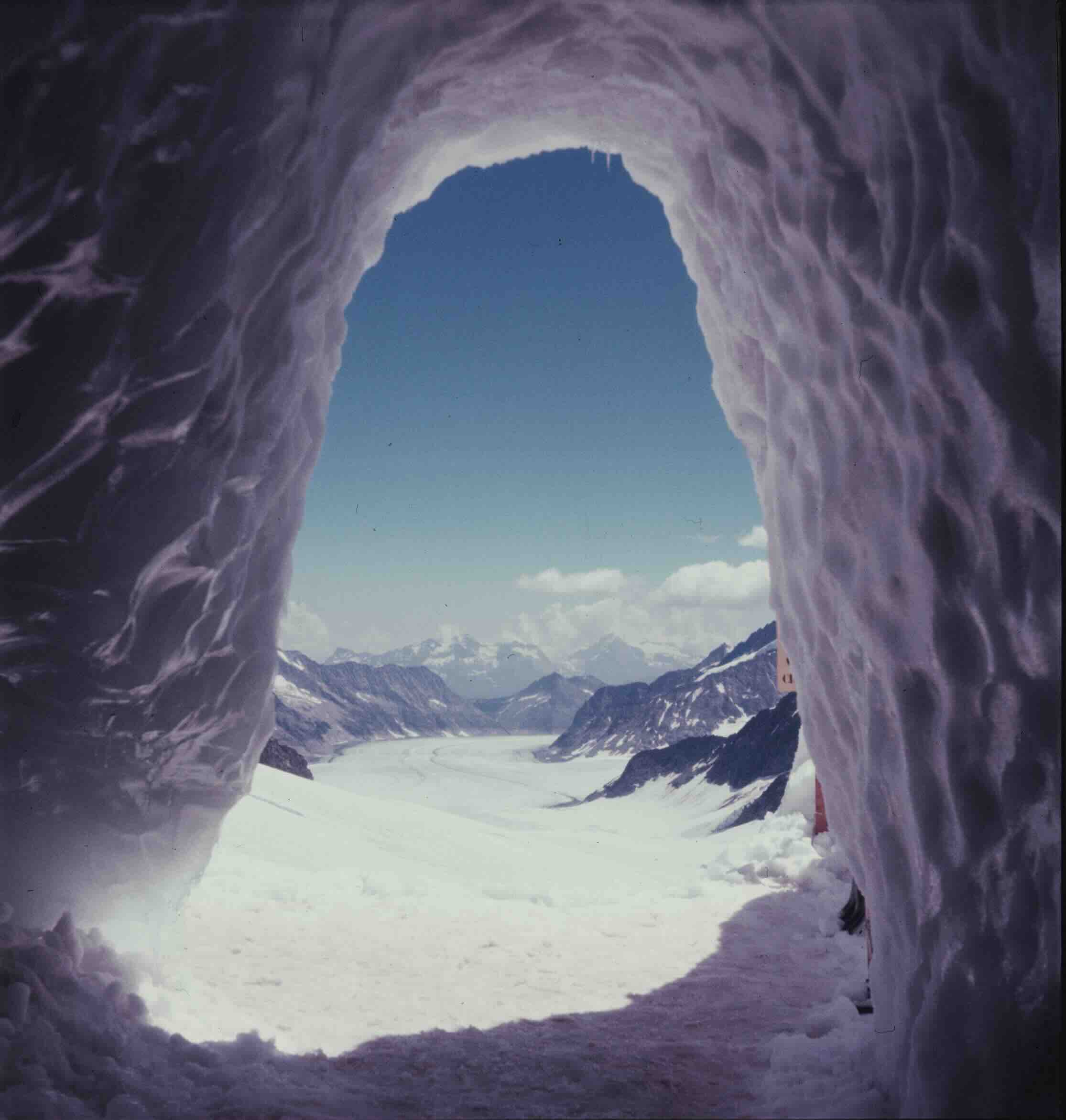
From 30,000 feet in the air, the Earth’s surface unfolds as a sweeping, interconnected continuum of green forests, blue oceans, and white peaks where geopolitical borders dissolve. Yet, this macro-level perspective often obscures the dynamic, localized realities unfolding at the ground level. For centuries, the global scientific community has approached glaciers primarily through a macro-lens: tracking them collectively as a planetary barometer of climate change. Across the globe, researchers monitor approximately 275,000 individual glaciers, quantifying their shrinking volumes, calculating their contributions to global sea-level rise, and documenting their eventual disappearance.
However, glaciological research increasingly reveals that glaciers do not experience a single, uniform global story. Every glacier possesses a distinct life history shaped by micro-climate, topography, volcanic activity, and regional hydrology. While the dominant global narrative remains one of rapid ice loss, recent observations across the Pacific Northwest, the Caucasus, and the Japanese Alps demonstrate that glaciers are undergoing hundreds of thousands of individual transformations. These shifts range from unexpected growth and crucial hydrological contributions to the late-stage discovery of ice masses that are already fading.
The Anomaly of the Pacific Northwest: Crater Glacier’s Surprising Growth
While the vast majority of North America’s alpine ice is in rapid retreat, Mount St. Helens in Washington State hosts a striking anomaly: a young, actively growing glacier.
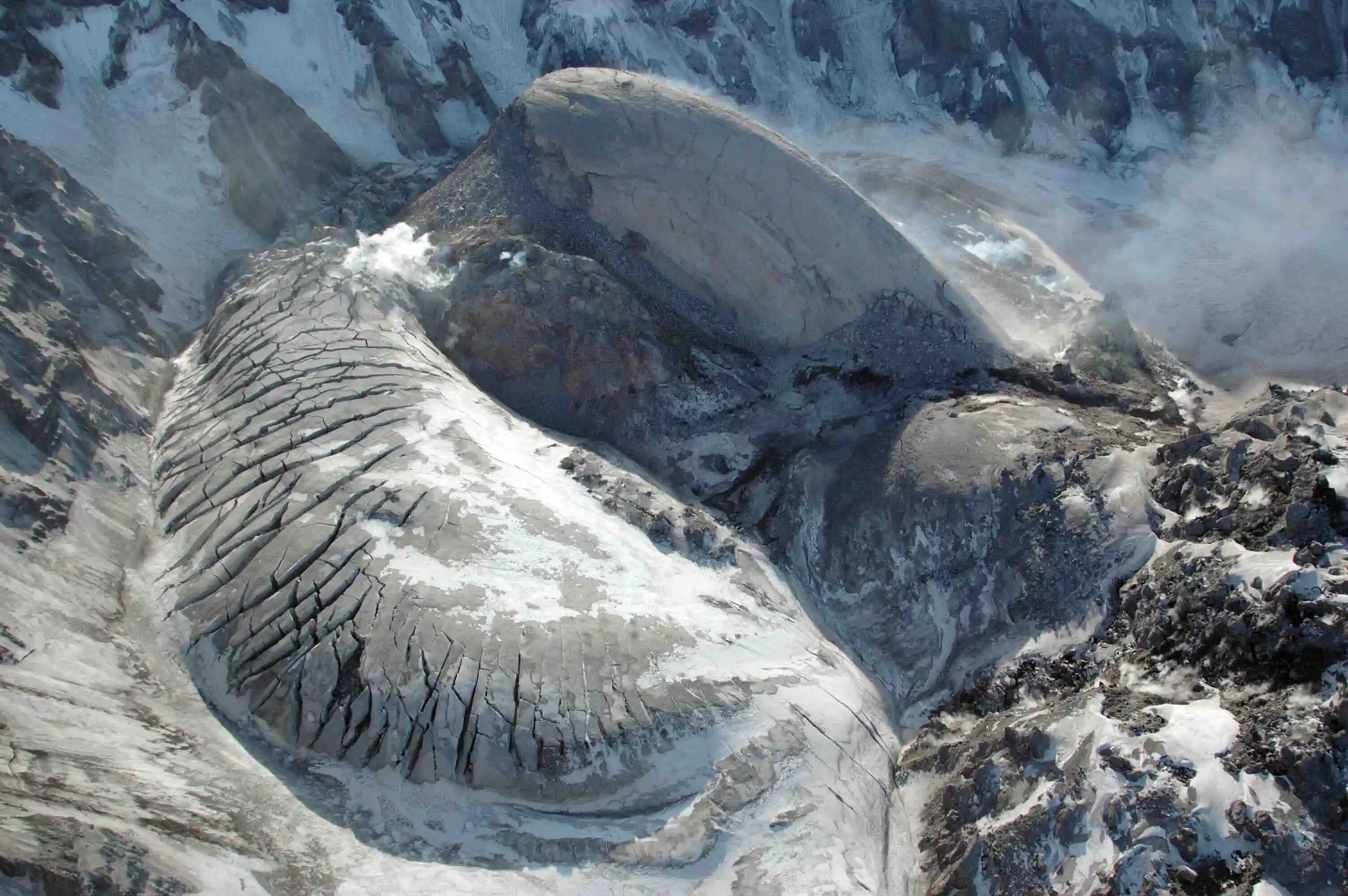
The cataclysmic May 1980 eruption of Mount St. Helens obliterated 70 percent of the mountain’s pre-existing ice, including the historic Loowit and Leschi glaciers, while the north flank collapsed to form a massive, two-mile-wide horseshoe-shaped crater. Yet, the very event that destroyed the mountain’s glacial system inadvertently created the micro-climatic conditions necessary to build a new one. Year after year, heavy winter snowfall accumulated on the volcano’s steep, shaded headwall, repeatedly avalanching into the protected, cold environment of the crater floor below.
By September 1996, glaciologists observed that the amassed snow and ice had begun to flow—a critical physiological threshold that officially designates a body of land ice as a glacier. Named Crater Glacier, this newly formed ice mass faced a dramatic test in 2004 when Mount St. Helens erupted once more, forcing a massive lava dome up through the crater floor and directly into the glacier itself. This marked the first time scientists documented the emplacement of a lava dome through active glacier ice.
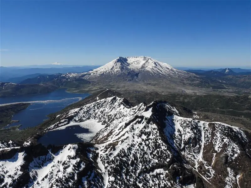
The intrusion split the glacier in two. Yet, as the lava dome continued to expand, the separate arms of Crater Glacier thickened, deformed, and accelerated, flowing between 30 and 60 centimeters per day. By 2008, the two arms had completely circumvented the lava dome and rejoined. Between 2009 and 2019, the glacier gained approximately 13.8 million cubic meters of ice and advanced more than a thousand feet.
Implications of Volcanic Glaciation
While Crater Glacier’s continued growth challenges general assumptions about modern alpine ice, it presents significant local hazards. The glacier’s proximity to an active volcanic vent and growing lava dome means that any future eruptive activity could rapidly melt substantial volumes of ice. Such an event would mix water with hot ash, pumice, and rock to generate destructive lahars—fast-moving volcanic mudflows capable of devastating downstream infrastructure, bridges, and communities along the Toutle and Cowlitz river valleys, echoing the destructive legacy of the 1980 disaster.
Azerbaijan’s Caucasus Ice: Disappearing Glaciers as Vital Water Reservoirs
Half a world away in the Eastern Caucasus, Azerbaijan is witnessing a profound contraction of its cryospheric resources. Between 2000 and 2020, the nation lost approximately 77 percent of its total glacier area. By 2025, only 14 fragmented glaciers remained, covering a mere 124 acres—about one-tenth of the ice surface area recorded in the 1890s.
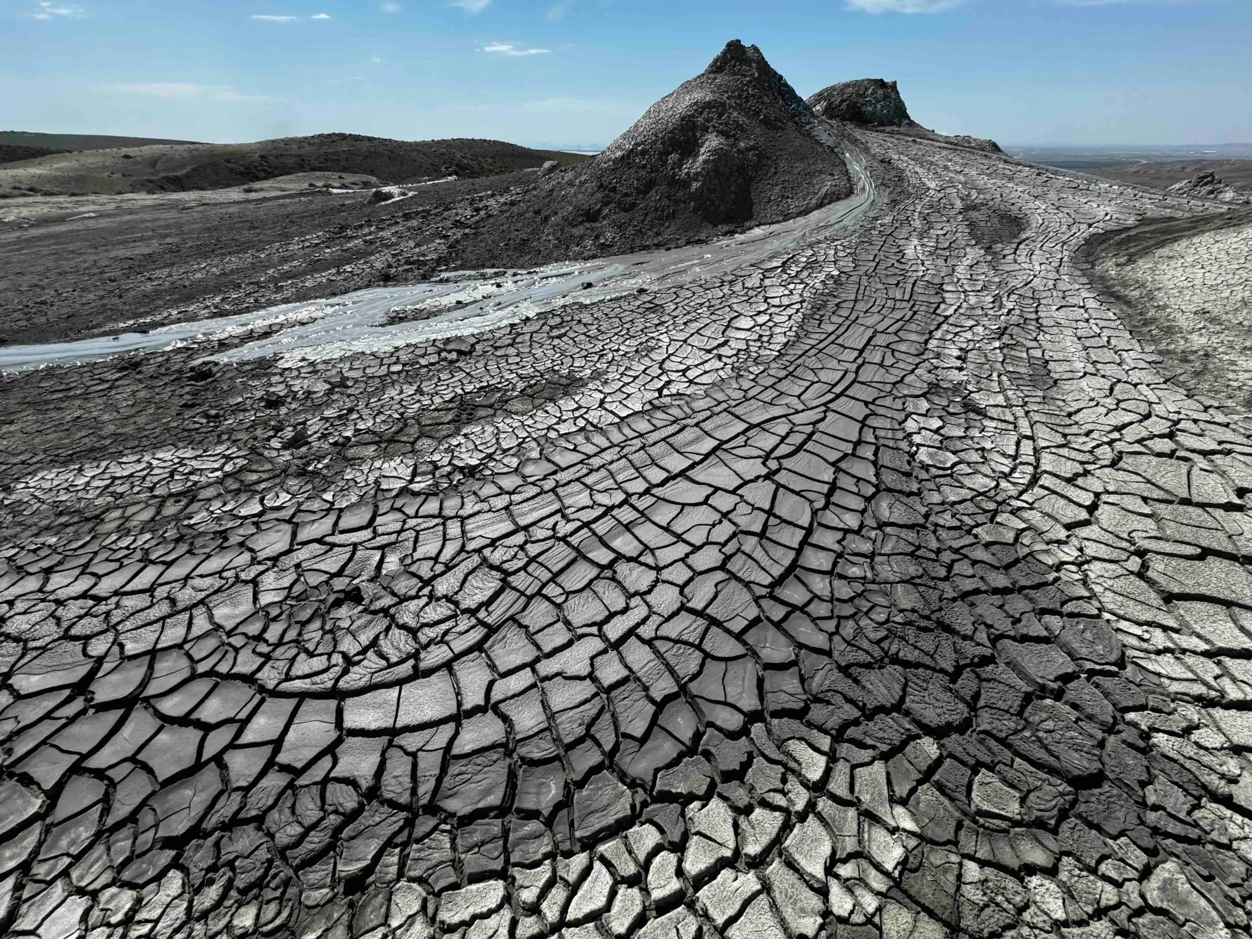
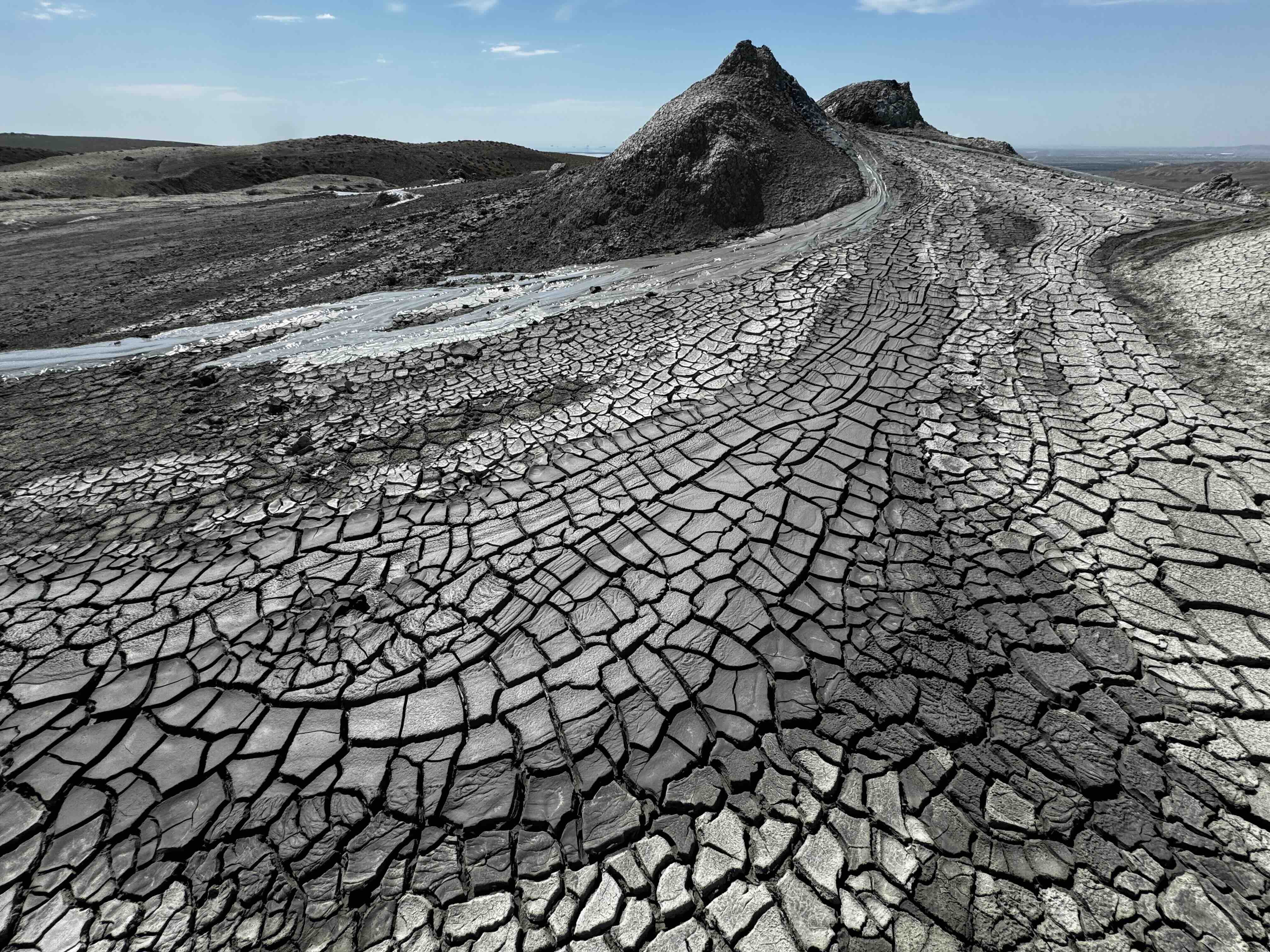
Despite this precipitous decline, public discourse surrounding the glaciers remains minimal, as national attention focuses more heavily on economic development, energy infrastructure, and tourism attractions such as Gobustan’s mud volcanoes. Nevertheless, these vanishing glaciers play an indispensable role in regional hydrology.
The Phenomenon of Peak Water
Glaciers function as natural, unconstructed water reservoirs that store precipitation over decades and centuries. In arid and semi-arid agricultural regions, this stored ice provides a vital baseline flow during dry summer months. Recent scientific expeditions to Azerbaijan’s Tufandag Glacier documented accelerated melting, expanding crevasses, and increased discharge rates in the downstream Mahmuddara River.
This phenomenon illustrates how a glacier can temporarily mask its disappearance by converting solid ice into increased liquid runoff. For agricultural sectors heavily reliant on irrigation for wheat, fruit, and vegetable production, this short-term surge in meltwater acts as a boon. However, hydrologists warn of "peak water"—the critical threshold when a shrinking glacier yields its maximum possible runoff before discharge begins an irreversible decline. Once the ice reserves are exhausted, regional agricultural frameworks will face severe water security challenges, necessitating significant investments in artificial water storage and conservation infrastructure.
Japan’s Hidden Ice: The Discovery and Fading of the Kuranosuke Glacier
In East Asia, recent glaciological investigations have upended long-held assumptions about the geographic limits of glacier formation. Japan’s Sea-of-Japan coast is renowned for receiving some of the heaviest seasonal snowfall on Earth, yet standard scientific consensus held that the region’s climate was too warm, and its mountains too low, to sustain true glaciers east of Russia’s Kamchatka Peninsula.
For decades, scientists categorized the white patches lingering in the shaded recesses of the Northern Japanese Alps as perennial snow patches. Unlike glaciers, snow patches do not possess sufficient mass to deform and flow under their own weight. However, during the 1970s, researchers investigating moulins—vertical drainage shafts—within the 6-acre Kuranosuke snow patch discovered layers of ancient ice. Subsequent radiocarbon dating of embedded organic material revealed that the ice dated back approximately 1,700 years.
Redefining Snow Patches as Glaciers
It was not until the period between 2009 and 2011 that advanced geodetic measurements and ground-penetrating radar deployed by researchers Kotaro Fukui and Hajime Iida confirmed that the Gozenzawa, Sannomado, and Komado snow patches—and eventually Kuranosuke—were actively flowing at rates of a few centimeters per year. This movement officially reclassified them as active glaciers, proving that local topography, wind-driven snow accumulation, and deep shaded valleys can sustain glacial ice even in marginal climatic zones.
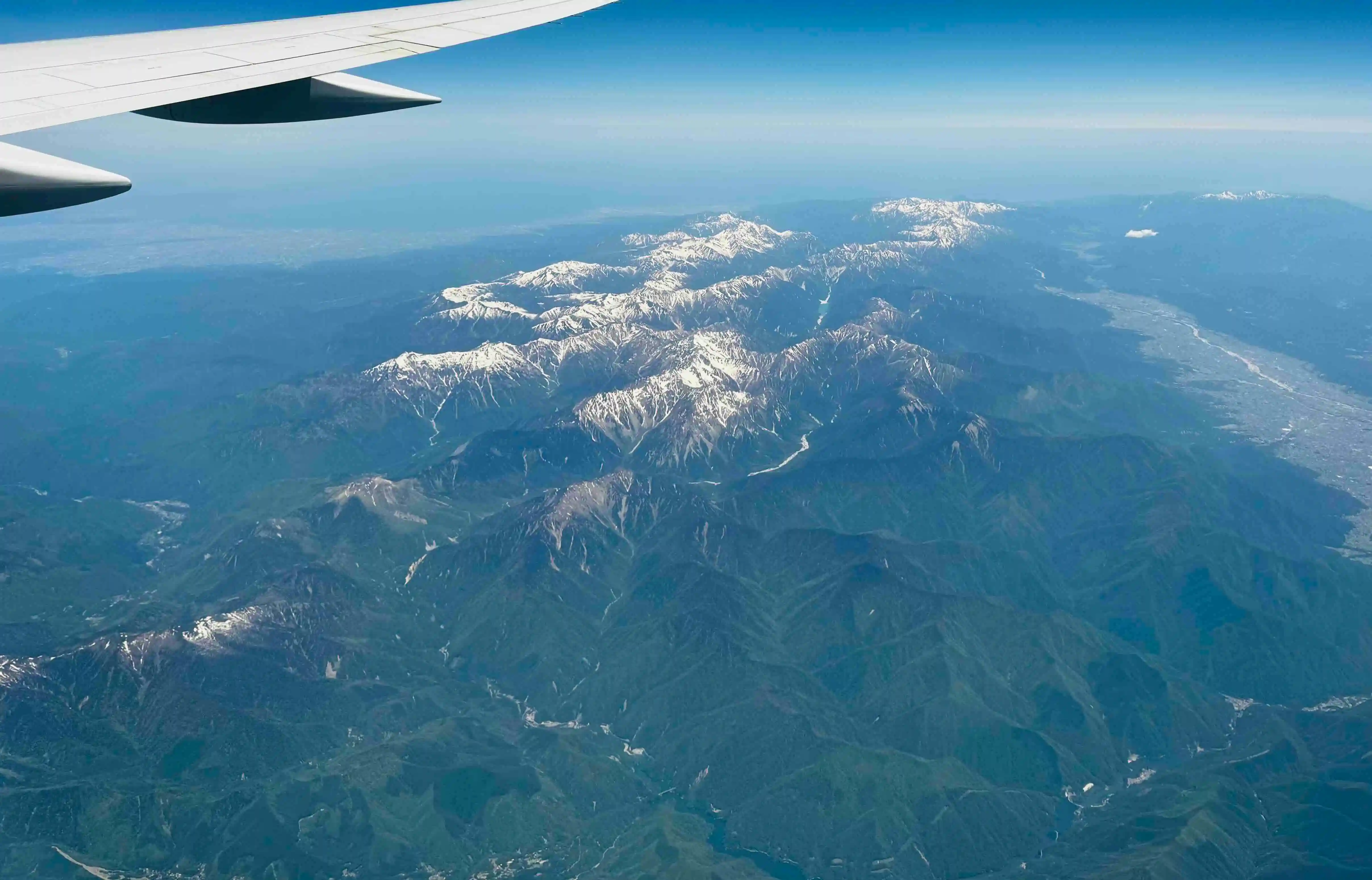
Despite this relatively recent discovery, these newly classified glaciers are already fading. Modern climatic warming has accelerated ice mass loss across the Tateyama massif, pushing Kuranosuke into a transitional state between an active glacier and a stagnant snow patch. While local communities and cultural traditions have revered the sacred snows of Mount Tateyama for over a millennium—as documented in eighth-century poetry by Ōtomo no Yakamochi—the scientific consensus points toward the likely disappearance of these localized ice masses within the current century.
Broader Implications and Scientific Outlook
The parallel stories of Crater Glacier’s expansion, Azerbaijan’s transitioning hydrological reserves, and Japan’s late-discovered alpine ice underscore the complexity of modern climatology. While global datasets provide essential metrics on planetary warming, examining glaciers individually reveals a mosaic of localized persistence, ecological adaptation, and sudden transformation.
As glaciologists continue to monitor these diverse systems, the shifting landscapes of the Pacific Northwest, the Caucasus, and the Japanese Alps serve as a reminder that the future of Earth’s cryosphere is not monolithic. Whether through the hazard of volcanic lahars, the temporary abundance of peak water, or the cultural loss of ancient alpine ice, these hundreds of thousands of individual glacier stories continue to shape human communities long after the ice has melted from view.